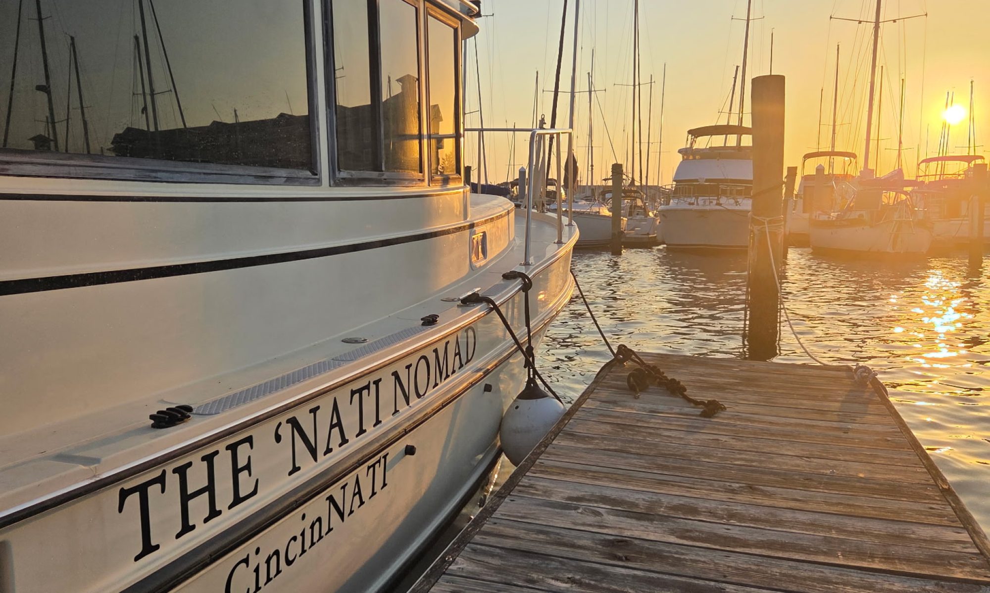

What a first month it has been! Day 1 was the Sunday during Memorial Day weekend. Through the month of June, I traveled from Norfolk up the Chesapeake Bay, across the C&D Canal, down the Delaware Bay to Cape May, up the east coast to New York Harbor, up the Hudson River, and across the Eastern Erie Canal. Shew!

Here are my stats:
| Days | 33 days (24 travel days) |
| Travel time | 122:26 hours |
| Distance | 694.84 nm (799.61 mi) |
| Average speed | 6.2 kts (7.1 mph) |
| States | 5 (VA, MD, DE, NJ, NY) |
| Visitors | 3 (Peggy, Lisa, Sue) |
| Stops | 25 (14 marinas, 8 anchorages, 3 free walls) |
| Locks traversed | 22 (Troy and Eastern Erie Canal) |
| New friends | Too many to count! |
| Favorite moment | Being on my own boat on the Atlantic Ocean riding waves and watching dolphins |
| Hardest moment | Docking on the Hudson River fighting wind gusts and current |
I took a short trip back to Cincinnati during the Fourth of July week to hug my kids and visit with family and friends. It was my turn to take my dirty clothes home for free laundry at my kids’ places and sleep on their couches. They surprised me with a welcome home reception, and I got to see a subset of people from different parts of my life – family, neighbors, lake people, IHC people, and besties. My kids are the best part of my life!! We spent fabulous quality time chatting, laughing, and catching up on our shows. Plus, I ate as much Skyline as I could.

Since I had a week off of looping, I thought I would answer some common questions that I have been asked. There is an abundance of resources available, and I found that the hardest part was figuring out what worked for me and what I could ignore. I have a chart plotter on my boat, but it is so old that it is pretty useless. The radar works so it is good to have in conditions with low visibility but there are other apps that work better for me. This screen reminds me of the DOS class I took in high school.

As much as I hate to admit it, Starlink is amazing. It keeps everything connected and it allows me to work from even the most remote locations. Technology makes this journey so much safer and easier than it must have been when the first loopers set out on this adventure.
The arrow below points to my antenna.

I primarily use Aqua Map for route planning and then I use both Navionics and Aqua Map for active navigation. I have 2 tablets and have one of the apps on each. It is basically like using Apple Maps and Google Maps at the same time – they give the same information but each are a little different. A cool feature of Aqua Map is that it has a built-in Anchor Alarm that I can set for peace of mind. I can share it to my phone so that I can check my anchor alarm even while I’m away from the boat. Plus, it allows me to sleep like a baby while on the hook.


In addition, I have the Nebo app going on my phone which is specific for loopers. It is useful for planning where to stay and is a great way to reach out to others to ask about the best anchorages and marinas or to ask if they want to meet for docktails.

Before I launched, I invested in a transmit/receive AIS (Automatic Information System) that gives me detailed information about boats. Commercial vessels are required to have it and most looper-style boats also use it. Small fishing and skiing boats generally do not. What it means is that I have an app called Marine Traffic that allows me to click on their little boat icon and see what kind of boat they have, how fast they are going, and sometimes, where they are going. This is especially useful going into small channels so that you can anticipate if a big barge is heading your way. I split the screen on my Navionics tablet so that I can have Marine Traffic running at the same time. This is an example of what Marine Traffic looked like while I was going through New York Harbor.

For weather planning, I use Windy, PredictWind, and NOAA Clime to look at wind, waves, tides, currents, visibility, and weather systems. I start checking a day or two in advance and then check the night before I intend to leave, but it is often irrelevant by morning. If I am uncertain, I will creep on other loopers on the Nebo app to see if anyone else is already underway. If I do not see anyone on the move yet, I give the weather one last look before I start my engine and that is when I make my go/no-go decision. I have been reminded by several others that this is “pleasure boating” and an extra day at the marina or on the hook is a much better option that putting myself in a scary situation.


Waterway Guides and Skipper Bob’s guides are great for researching places to stay. There are app versions, but I prefer the hardcopies of these so that I can mark them up. The guides are packed with everything from marinas with fuel and pump out stations to dog-friendly anchorages. I have already retired one Waterway Guide. See you next year, Chesapeake Bay!

Due to unpredictable weather, I quickly learned that I cannot plan the next night’s stay until I am literally on my way there. Dockwa is like the VRBO app for marinas and it’s easy to book and pay, but sometimes it is easier just to call when I am a few hours away.

For safety, I have a Garmin InReach Mini with a Messenger app that I keep attached to my inflatable life jacket. It sends out an SOS to the Coast Guard and my contacts in an emergency situation.

Next, I will make my way up through Oswego, New York and spend the month of July exploring Canada. I am excited to see what adventures I find and hoping I continue to improve my boat wrangling skills!
“You’re on your own. And you know what you know. And you are the one who’ll decide where to go.” – Dr. Seuss, Oh, the Places You’ll Go!
To support the adventure or to track The ‘Nati Nomad’s progress, visit greatloop.thenatinomad.com.

Glad you returned home for some family and friend hugs. I’m treating you to Skyline whenever you want! Looking forward to your next post, safe travels, Jodi
Thanks, Jodi. I will take you up on your offer for Skyline. I have 4 cans sitting in my boat’s cabinet right now but it’s never enough!